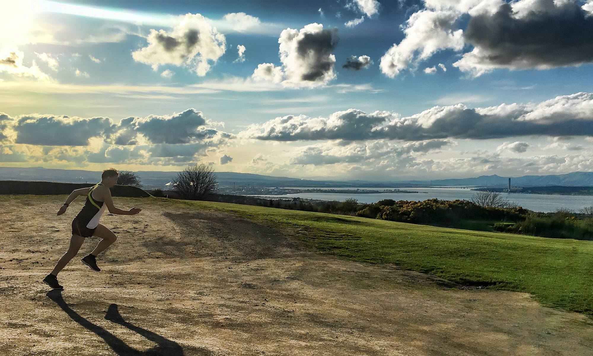
Week five was a busy week. I mean in the real world, not the world of running. And that had a bit of an impact on my plans.
Tuesday was fine, though – four miles at lunchtime round Linlithgow Loch. The weather is starting to get pretty warm, though – it was a pretty hot and sweaty four miles
Map of the route “Week 5 – The Wheels Falling Off!”: 6,754 m, 73 m of climbing and 73 m of descent, elevation between 47 m and 82 m, time 00:48:49. It is a loop that starts and ends at 55.98524, -3.58347 (latitude, longitude).
Total distance: 6790 m Max elevation: 82 m Min elevation: 47 m
It was Wednesday when things started going less well. I had to go to Pittenweem for the day and just didn’t manage my run.
Thursday I also spent at Pittenweem, and didn’t make it back home until about 7pm. I couldn’t let two days slip, so after a day spent carting black bin bags into a van I eventually got out just before 8pm and did four miles.
Map of the route “Week 5 – The Wheels Falling Off!”: 6,759 m, 91 m of climbing and 90 m of descent, elevation between 72 m and 149 m, time 00:37:36. It is a loop that starts and ends at 55.97647, -3.71406 (latitude, longitude).
Total distance: 6753 m Max elevation: 149 m Min elevation: 72 m
On Friday I decided to try to catch up on the missed miles, so after work I went out and did seven miles. This was two laps of the Loch plus a couple of extra bits to get the mileage up.
Love the flies on my face. Actually, I don’t
Map of the route “Week 5 – The Wheels Falling Off!”: 11,858 m, 126 m of climbing and 126 m of descent, elevation between 47 m and 82 m, time 01:07:40. It is a loop that starts and ends at 55.98572, -3.58271 (latitude, longitude).
Total distance: 11900 m Max elevation: 82 m Min elevation: 47 m
That brought on the weekend, and on Saturday I had another seven miler. My car had to go in for some work, so I ended up running around Stirling. A nice change of scene, and the scenery around that area is always enough to take my mind off the pain. I was tempted to stop in at Corrieri’s for some food, but gamely kept running!
The Old Stirling Bridge. And a sweaty old bloke!
Map of the route “Week 5 – The Wheels Falling Off!”: 11,832 m, 106 m of climbing and 106 m of descent, elevation between 2 m and 28 m, time 01:08:29. It is a loop that starts and ends at 56.11219, -3.91604 (latitude, longitude).
Total distance: 11842 m Max elevation: 28 m Min elevation: 2 m
And then it was Sunday. For the first time my training plan broke the thirteen mile marker. There’s a psychological breakpoint when you run beyond 13.1 miles.
I had planned to go earlier in the day, but after a bit of a long lie I realised it was much too warm to go running around lunchtime. So I waited until much later in the afternoon. It was still very warm – 18-20C throughout. Wallacestone Brae and Standrigg Road were brutal… but I got there!
I picked a bad day to try compression – too hot!
Map of the route “Week 5 – The Wheels Falling Off!”: 22,011 m, 276 m of climbing and 275 m of descent, elevation between 61 m and 184 m, time 02:14:03. It is a loop that starts and ends at 55.97650, -3.71450 (latitude, longitude).
Total distance: 21969 m Max elevation: 184 m Min elevation: 61 m
But, the main thing is, training is still on track…
Goodness me, it has been a very busy couple of weeks. So busy that I failed to post an update for week three of training – so this one is going to have to cover both week thres and week four.
Week Three – 17-23 Jun
The week started with a busy day – I had an appointment in St Andrews, some two hours distant, in the late morning, and I didn’t expect that I would get home before late evening. So I made the only choice I could – I got up ridiculously early and went for a run in the morning. Five miles, including the dreaded Wallacestone Brae
Map of the route “Week Three and Four Of Training”: 8,336 m, 97 m of climbing and 97 m of descent, elevation between 72 m and 148 m, time 00:48:16. It is a loop that starts and ends at 55.97646, -3.71500 (latitude, longitude).
Total distance: 8370 m Max elevation: 149 m Min elevation: 72 m
Wednesday turned out to be no better. Again, awkwardly-timed appointments meant that I couldn’t run when I would normally have expected to, and so I had to go out in the late evening. By this time it was getting dark and I knew that the route would include a short stretch of unlit road with no pavements. So it was on with the illuminated running belt and the Craft Mind Reflective tights. I don’t know why they don’t sell these in the UK any more; they are great for running at night time – though I would love to see what they look like in car headlights!
Cradt Mind Reflective Tights – Brilliant!
Map of the route “Week Three and Four Of Training”: 6,632 m, 97 m of climbing and 96 m of descent, elevation between 68 m and 148 m, time 00:44:42. It is a loop that starts and ends at 55.97634, -3.71460 (latitude, longitude).
Total distance: 6664 m Max elevation: 148 m Min elevation: 68 m
Now, Wednesday’s run should have been the long one of the week, but it was already late. So I only did four miles (but I did take in the Brae) and did the long run on Thursday instead. This was a six mile run, and I didn’t include the Brae – but I did still have a decent amount of hill work – I am going to be as prepared as I possibly can be for Dores!
Map of the route “Week Three and Four Of Training”: 9,987 m, 140 m of climbing and 138 m of descent, elevation between 88 m and 146 m, time 00:59:04. It is a loop that starts and ends at 55.97657, -3.71396 (latitude, longitude).
Total distance: 9969 m Max elevation: 147 m Min elevation: 88 m
Friday was a rest day, much of which I spent driving to Nottingham to help my daughter come home from Uni. So on Saturday, I found myself in unfamiliar territory, and able to do a wee bit of Parkrun tourism. I ran from the hotel via a slightly roundabout route to the Nottingham Forest Rec Parkrun, where I ran the 5k in a respectable 22:55 before running back to the hotel. Now, we Scots might claim that England is flat as a pancake, but I can guarantee that there were hills in this parkrun! A climb of 100ft, performed twice within the 5k, made for a tough run – so thank you to the run director and all the volunteers at the event.
Me at the Forest Rec start
Map of the route “Week Three and Four Of Training”: 10,306 m, 177 m of climbing and 177 m of descent, elevation between 42 m and 78 m, time 01:31:23. It is a loop that starts and ends at 52.95821, -1.15611 (latitude, longitude).
Total distance: 10275 m Max elevation: 79 m Min elevation: 42 m
Saturday we drove home, which let me do my LSR on home turf. The weather was glorious, conditions in which I am not used to running. So I summoned my courage and ran topless for part of the race. Then I chickened out whenever I saw people in the distance and put my t-shirt back on! But at least I did get through my seven miles without collapsing in the heat!
Hot day!
Map of the route “Week Three and Four Of Training”: 11,690 m, 139 m of climbing and 138 m of descent, elevation between 72 m and 184 m, time 01:10:35. It is a loop that starts and ends at 55.97635, -3.71500 (latitude, longitude).
Total distance: 11733 m Max elevation: 184 m Min elevation: 72 m
Week Four – 24-30 Jun
After the usual rest day, Tuesday saw another evening run. At least it was fairly cool!
Map of the route “Week Three and Four Of Training”: 6,785 m, 99 m of climbing and 97 m of descent, elevation between 68 m and 148 m, time 00:39:13. It is a loop that starts and ends at 55.97647, -3.71529 (latitude, longitude).
Total distance: 6791 m Max elevation: 149 m Min elevation: 68 m
Wednesday, I rather screwed up. I had planned a two-session day; a short lunchtime run with my regular training partner and then a short run in the evening to make up to seven miles. But once I was out I decided to do the whole even miles at lunchtime – it meant I was in the office until half past six but at least it was done! The run itself was in some lovely weather, around Linlithgow Loch.
Rural IdyllDucks
Map of the route “Week Three and Four Of Training”: 11,779 m, 132 m of climbing and 131 m of descent, elevation between 47 m and 82 m, time 01:07:59. It is a loop that starts and ends at 55.98555, -3.58342 (latitude, longitude).
Total distance: 11824 m Max elevation: 82 m Min elevation: 47 m
The weather continued to Thursday, when it was 23C as I went out for my run. This was a four miler, and I took the chance to enjoy my new BoaUSA Elite 1″ split shorts – perfect to enjoy a bit of sunshine on my skin. I tried to do this at marathon pace, but messed that up a bit and ended up doing the run at 8:37/mile – way faster than I could sustain over 26.2 miles.
Enjoying the sun
Map of the route “Week Three and Four Of Training”: 6,896 m, 92 m of climbing and 92 m of descent, elevation between 72 m and 148 m, time 00:38:09. It is a loop that starts and ends at 55.97637, -3.71557 (latitude, longitude).
Total distance: 6896 m Max elevation: 149 m Min elevation: 72 m
On Saturday I parked at Tesco, ran three and a half miles along the canal and back to Tesco. This was supposed to be at marathon pace, but ended up being a bit faster. Am I the only one who runs faster when I need a pee?
By the time I finished I found that I had been texted a shopping list, so I wandered round the store, buying my messages and sweating all over the shop floor!
Map of the route “Week Three and Four Of Training”: 12,006 m, 58 m of climbing and 57 m of descent, elevation between 72 m and 83 m, time 01:02:55. It is a loop that starts and ends at 55.98441, -3.73338 (latitude, longitude).
Total distance: 12019 m Max elevation: 83 m Min elevation: 72 m
The long run came the following day, this time twelve miles. I resolved to try to avoid thinking about pace but instead keep myself in Heart Rate Zone 2 as much as possible. This was really easy for the first few miles, until I reached the turning point and realised that the wind had been very kind to me. Now I was fighting my way into the wind, and the pace dropped dramatically
It was still warm, though – at least until the rain started. Suddenly I was completely soaked through, and I still had three miles to run. But it’s strange – I seem to think of the bottom of Wallacestone Brae as being “basically home” – all I need to do is climb just over a hundred metres in a mile or so, then run a further mile and a half, and I’m home!
On the Avon Aqueduct
Map of the route “Week Three and Four Of Training”: 20,090 m, 266 m of climbing and 265 m of descent, elevation between 61 m and 184 m, time 01:57:01. It is a loop that starts and ends at 55.97664, -3.71468 (latitude, longitude).
Total distance: 20172 m Max elevation: 184 m Min elevation: 61 m
So, things so far are on track – let’s hope I can keep it up. Summer marathon training does seem to be rather more intrusive on one’s time than winter training!
Week two started off well with a nice four mile run round Linlithgow Loch on Tuesday. When I say “nice” I of course mean “nice apart from the hordes of little flying beasties that swarm round the back of the loch”. But apart from them, it was great.
I would be lying if I said that hills were my favourite thing. But living where I do, about two-thirds up the valley wall of the southern half of the Forth Valley, I have to get used to them.