With the twenty mile run out the road, I started feeling really good about the marathon. I am also feeling a wee bit of DOMS too, but let’s lave that just now. As I posted on Instagram: DOMS today, Gonez tomorrow.
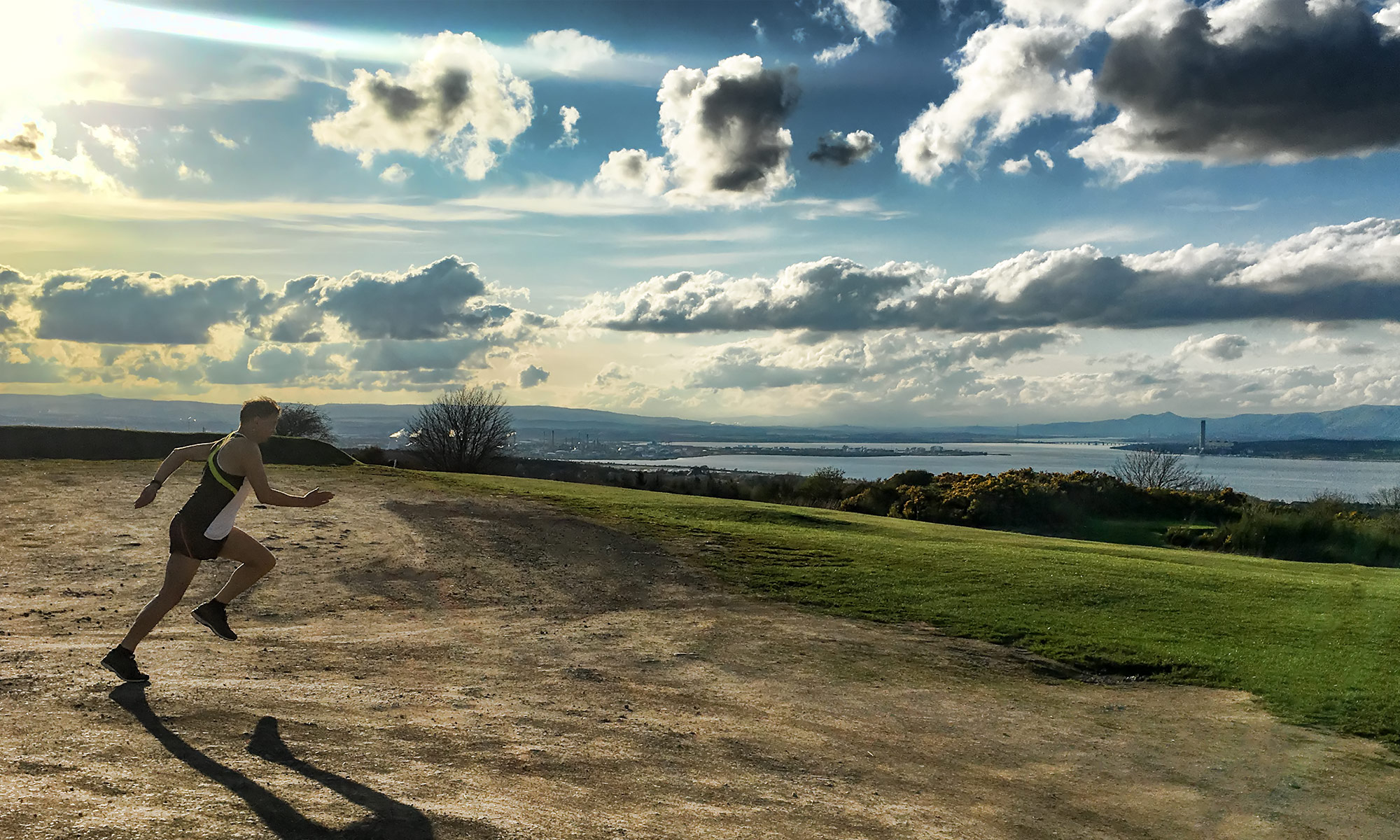
Tomorrow meant Tuesday, having had a rest day on Monday. This was the usual run around Linlithgow Loch, topped and tailed with a loop round past Bonnytoun Farm. The first few steps were pretty gingery, but after a while I was back up and running more comfortably, and indeed was going rather faster than was appropriate.
Max elevation: 80 m
Min elevation: 41 m
On Wednesday I went back to my canal route from work, where I ran a bit faster than I should have. Not sure if I was just looking forward to getting home for dinner!

Max elevation: 82 m
Min elevation: 47 m
And then on Thursday, it was once again around the Loch. If this blog is starting to sound repetitive and as if I am running out of things to say, well…
Max elevation: 80 m
Min elevation: 41 m
Friday was enlivened by my marathon number arriving through the post. I shall be runner number 1470! Exciting times!
On Saturday some new kit arrived from Runderwear, but it arrived a little too late for my training run. Instead I got up early and ran an eight mile loop that saw me going past Tesco and along the canal to Bridge 49 restaurant, then turning back and going home via Nicolton Road. Again, the pace is higher than it should be and I am increasingly finding it hard to slow down – I wonder if this is to be expected as I train more?
Max elevation: 111 m
Min elevation: 69 m
So that left the Sunday run. This was to be twelve miles. Well, if I could manage twenty last week, twelve must be a doddle, right?
I drove into Stirling Uni and headed towards my usual parking spot. But a steward at the gate told me that some of the roads within the Uni were closed for a cycle race, and so I had to park in a different part of the campus. Having done so, I went for a wander to try to find out how to get to the Loch. Once there, I went for my run.
I had chosen to do a lap of the Loch, and then head out in the opposite direction. I went north through Bridge of Allan and on to Dunblane, where I turned up the hill onto the Glen Road. This beautiful route gradually loops back into Bridge Of Allan, climbing and then descending a fair bit in the process.
From there I continued back to the Uni and did a lap and a half of the Loch to make up the twelve miles.
I couldn’t understand why I was feeling so tired – it was only twelve miles after all. But then I looked at my pace numbers and realised why – I was running much faster than I ought to have been. This is becoming a problem that I will have to manage carefully on my longer runs.
After finishing the run I went for a wander round the campus and spent some time watching the cyclists before heading home.


Max elevation: 132 m
Min elevation: 11 m
Next week sees another twenty mile run on Sunday. After that, it’s taper. As I said during the week, it’s getting pretty real.
